Using the days where Oscar is in Kita, I am trying to tick off more cantonal high points before starting work again. The next target was the Hasenmatt, the top of Solothurn. You can think of Canton Solothurn in the lowlands between the Alps and the Jura. Hasenmatt situates itself on the southernmost promontory of the Jura. It ain’t the Alps, there's really no getting around that. But what it lacks in elevation, it makes up for in many other ways.
Joined by Kathy and Steve, we took the train from Zurich to the Oberdorf train station. Hikers who wish for a bump can easily board the Weissenstein gondola. However, I was with the active retirees, and the uphill machines do not allow for such luxury. The trail started right when we got off the train with signs for dinosaur tracks. Something that you should know about me is if I see an interpretive sign, I must follow it. I love interpretation! Especially when it leads to Brontosaurus tracks. Up on a limestone slab where the soil had worn away. You could clearly see divots in the rock where some family of long necks were stompin’ around in the mud of a shallow sea. Soon after, the mud dried, then was covered, then it metamorphosed, then the metamorphosed rock was crumpled to form the Jura, then a major rainstorm removed the top soil. Then a platform with interpretive signs in German and French was built and 3 humans read those signs. That’s 150 million years of history in two sentences - at least I’m pithy!
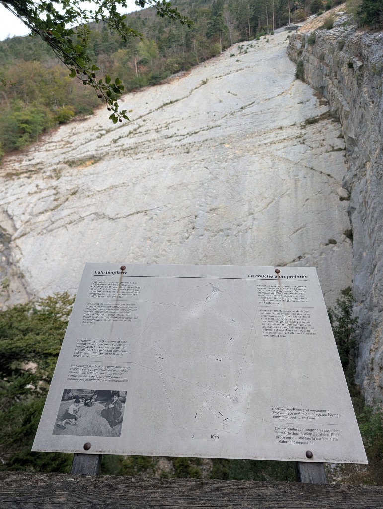
We had taken a slight detour to see the Dinosaurs, and because I loathe doubling back on my track, I decided to take us on a trail that was not color coded in SwissTopo. Big mistake! The detritus ladened path steeply zigzagged up the face of the Weissenstein. I was quaking in my boots given the slope angle in the slippery leaves. Steve and Kathy were less worried than I, but alas I’m a new mother and now have a different relationship to exposure that I am getting used to. Stick to yellow/red/blue trails - at least you know someone has maintained them…
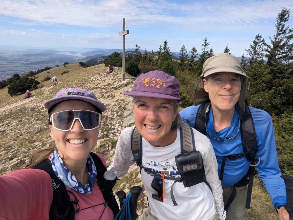
After gaining the ridge, things moved much quicker. In less than an hour, we were popping out of the trees for the final meters to the Gipfulkreuz (summit cross). From the top of Hasenmatt, the Alps open up in a way that you do see when you’re in them. From Santis to Vrenligartli to Titlis to the Eiger the panorama was bountiful. We had our snack and got our selfie, grateful for a clear September day.
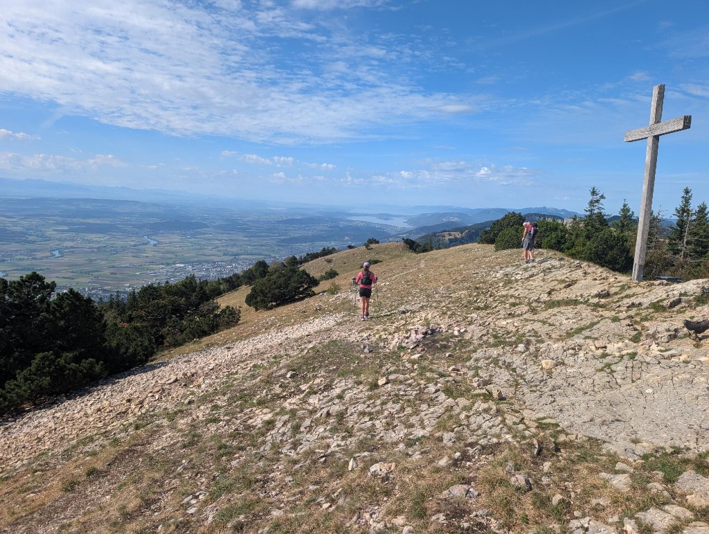
Adding more logistics to a plan is my specialty. While I invited Kathy and Steve on this adventure, I was also trying to run a half marathon to prepare for my race. I bid adieu to the fogeys at the Alp Husli (there are little berg restos all over this range) as they did not need to obtain such mileage. I planned to do a loop and meet them at the top of the gondola. This is good trail running terrain as there are actual gentle (ie runnable) slopes on the top of these mountains. I put the poles away and shuffled along.
The thing with the fogeys is that they’re actually much fitter than me. Kathy and Steve have been averaging about 1000m of climbing per day since arriving in Switzerland in July. Meanwhile, I’ve slept poorly for almost a year and am only recently coming back to trail running post partum. So when I had reached my turnaround point, they were really only a kilometer behind me. So much for doing my loop. I turned around and found Steve doing hill intervals up to the summit of Ruti.
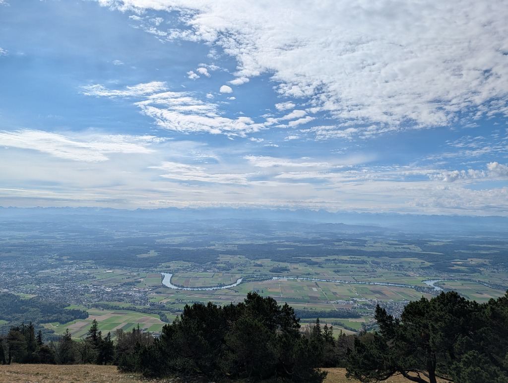
We walked back to the gondola together. Because I had still not achieved my distance goal, I forgoed the gondola and ran down to the base. It actually wasn’t that bad and I reminded myself that I needed to practice descending for this race. I ran past Oberdorf to the next train stop because I was feeling so good!
So cheers to another Jura adventure - thank you Steve and Kathy for joining!